App
On the web now. iOS coming soon.
Plan on clear contours, take packs offline, and keep your tracks yours. The web app is live. A native iOS app is coming soon.
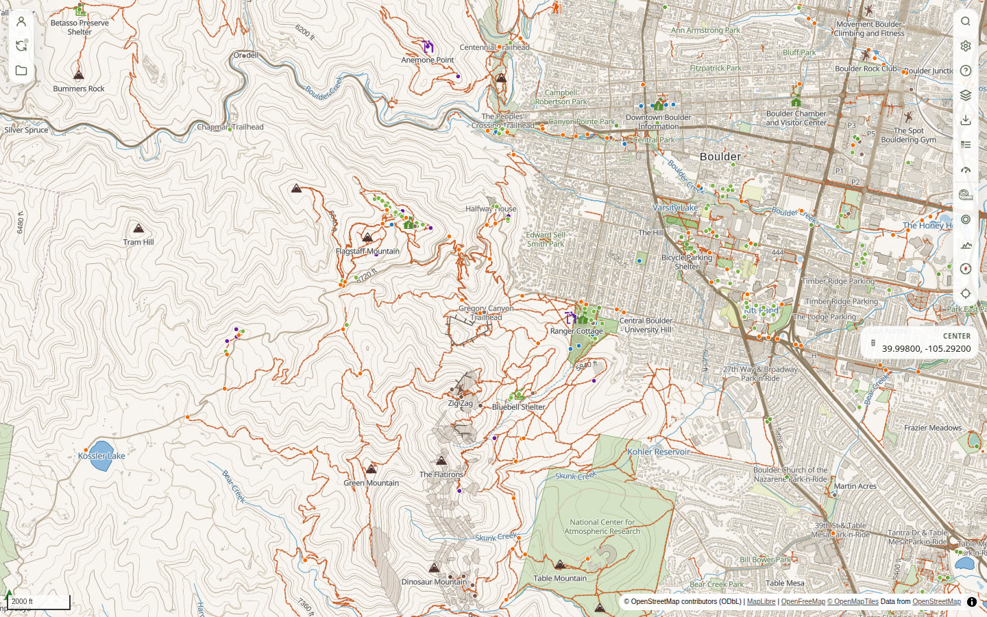
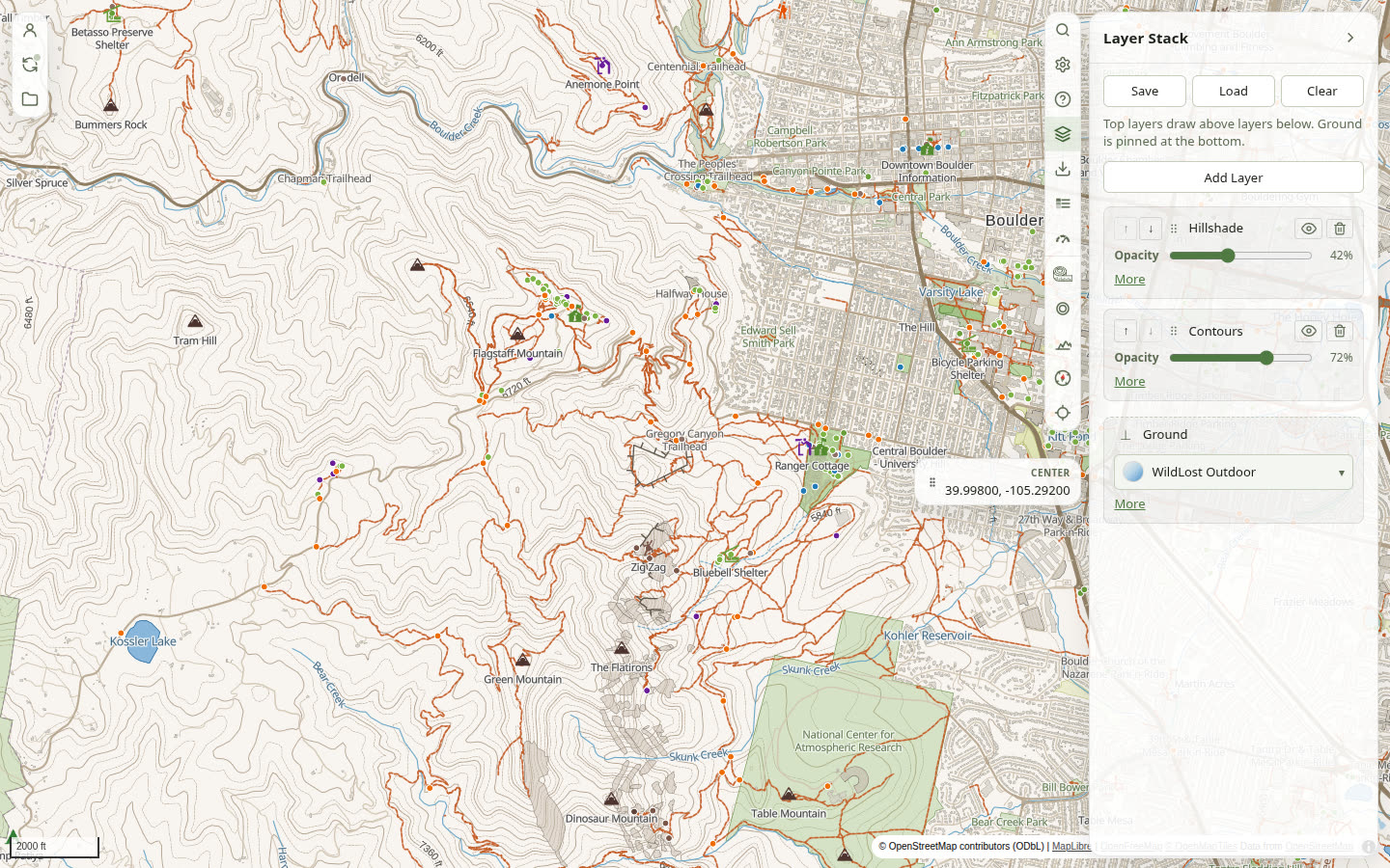
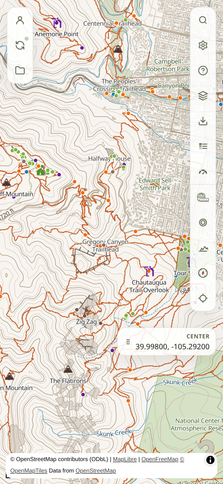
What you can do now
- Read terrain on clear contours and the WildLost Rec ground.
- Turn on readout panels or the status bar for cursor position, elevation, zoom, pitch, and scale (meters per pixel).
- Plan routes, record tracks, and keep a library of map objects.
- Import and export GPX, GeoJSON, KML, and KMZ — plus FIT on the way in. Select a route, track, or waypoint and Export defaults to that object (Selection), so a GPX can leave for another mobile app without dumping the atlas.
- See why: a disabled control toasts the reason, a You're offline banner names a dropped connection, the Sync panel names Local only or last synced, layer pills mark Downloadable or Online only, and History can Preview or Restore a saved version.
- Read what the data mean: layer pills open an explainer (Type, Resolution, License, Downloadable), and layer descriptions expand the terms — MODIS Daily names the instrument, NASA, Terra and Aqua, and GIBS.
- Download an area when you leave coverage. Extras can include Snap-to-trail routing, 3D terrain, and Place search so those still work without a radio.
- Stay in Local mode, or sign in when you want the same library on more than one device. A red account dot is for a remembered session that is dead and sync has stopped — not Local mode.
Questions? See the FAQ, or email support@wildlost.com.